The California Wetland Program Plan (WPP) seeks to strengthen protection for wetlands in many ways, including building capacity to track the net benefits of wetland policies and programs by employing aspects of the State’s Wetlands and Riparian Area Monitoring Plan (WRAMP).
The Delta Aquatic Resource Inventory (DARI) is a map of surface waters, wetlands and other aquatic resources in the Sacramento-San Joaquin Delta. A similar mapping approach used to create the Bay Area Aquatic Resource Inventory (BAARI) was applied to complete a consistent map across the larger San Francisco Estuary. Both DARI and BAARI are integrated into the California Aquatic Resource Inventory (CARI), which serves as the basemap in EcoAtlas.
Delta Aquatic Resource Inventory (DARI) is a detailed base map of the Sacramento-San Joaquin Delta's aquatic features that include wetlands, open water, streams, ditches, and tidal marshes. DARI was developed using a Geographic Information System (GIS) and heads up digitizing, with true color imagery, LiDAR, and a suite of ancillary data sources to consistently map aquatic resources throughout the Delta. The draft GIS dataset was reviewed by regional wetland scientists and stakeholders to ensure it is accurate as possible.
This effort is intended to provide planning-level regional guidance for placement of green stormwater infrastructure (GSI) in Livermore-Amador Valley. This work identifies potential GSI locations and quantifies contaminant load and stormwater runoff volume reduction benefits through the application of GreenPlan-IT, a planning tool developed by the San Francisco Estuary Institute and regional partners. Ultimately, the urban greening analysis presented in this report is intended to help enhance stream and watershed resilience, reduce peak flows, and improve water quality.
Two key reports support nature-based solutions. Green stormwater infrastructure (GSI) and enhancements to the urban tree canopy offer benefits to stormwater management, urban ecological improvements, and complementary urban greening activities.
On KGO TV, these projects were featured on July 1, 2021.
Effective implementation of urban greening strategies is needed to address legacies of landscape change and environmental degradation, ongoing development pressures, and the urgency of the climate crisis. With limited space and resources, these challenges will not be met through single-issue or individual-sector management and planning. Increasingly, local governments, regulatory agencies, and other urban planning organizations in the San Francisco Bay Area are expanding upon the holistic, portfolio-based, and multi-benefit approaches.
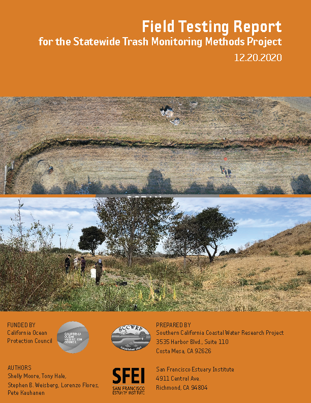
Trash has received renewed focus in recent years as policy makers, public agencies, environmental organizations, and community groups have taken many steps towards trash quantification and management across California. The range of management actions is matched by the diversity of monitoring approaches, designed to determine key attributes associated with trash pollution on California’s lands and in its waterways.
This report describes the field testing associated with a project designed to validate the accuracy, precision, and practicality of several trash monitoring methods, practiced across the state. Additionally, the project measured the efficacy of a novel monitoring method designed to detect trash via remote sensing and machine learning. Readers will find details about each respective method -- the specific approach to
landscape characterization, the qualitative or quantitative measures undertaken, the team-based quality assurance for data collection -- as well as the approach that the testing team adopted to ensure efficient, accurate, and useful validation of the methods.
Because the validation efforts integrated multiple methods, using multiple teams at a selection of common sites, the field testing report yields useful statistical information not only about each method individually, but about the comparability of the results. The report illustrates the
correlation factor associated with different forms of trash metrics, associated with different methods practiced on the same assessment sites. The results illustrated a generally high degree of correlation among different methods, which promises opportunities to compare results meaningfully across methods.
Furthermore, this field testing report provides quantitative measures to illustrate the repeatability of each method, the differences and insights yielded by assessment site sizing criteria varying among methods, the transferability / teach-ability of each method among trash monitoring practitioners, and how the degrees of accuracy might aid programs in performing mass balance analysis of known sources
to trash detected in a given site.
Regarding innovation, the project team leveraged multiple on-the-ground methods and special testing scenarios to compare conventional and novel (aerial) assessments to measure the relative accuracy and precision of this emergent technology that might address some of the resource constraints that currently limit the broader or more frequent deployment of conventional trash assessment methods. The analyses captured in this field testing report offer specific quantitative measures of the accuracy (bias), precision (repeatability), practicality and cost associated with each method. This information is subsequently used to inform a companion summary analysis found in the Trash Monitoring Playbook, which is designed to evaluate the applicability of the monitoring methods to address classes of
monitoring questions.
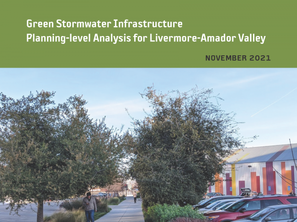 This effort is intended to provide planning-level regional guidance for placement of green stormwater infrastructure (GSI) in Livermore-Amador Valley. This work identifies potential GSI locations and quantifies contaminant load and stormwater runoff volume reduction benefits through the application of GreenPlan-IT, a planning tool developed by the San Francisco Estuary Institute and regional partners. Ultimately, the urban greening analysis presented in this report is intended to help enhance stream and watershed resilience, reduce peak flows, and improve water quality.