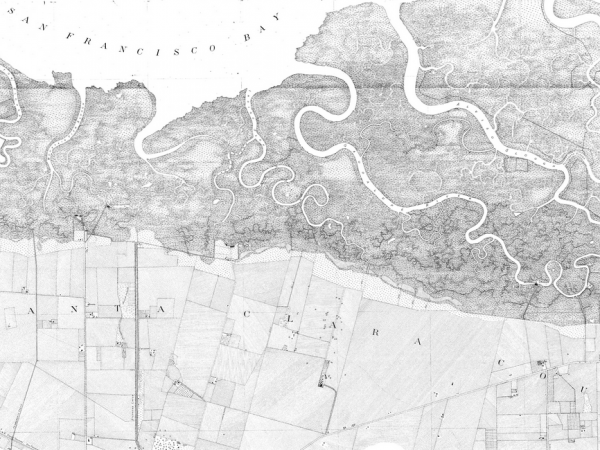
T-Sheet User Guide: Application of the Historical U.S. Coast Survey Maps to Environmental Management in the San Francisco Bay Area
2005. T-Sheet User Guide: Application of the Historical U.S. Coast Survey Maps to Environmental Management in the San Francisco Bay Area. SFEI Contribution No. 427. San Francisco Estuary Institute: SF. p 45.
| Attachment | Size |
|---|---|
| 8.6 MB |
Related Projects, News, and Events:
 T-Sheet User Guide (Project)
This guide discusses the historical maps of San Francisco Bay produced by the United States Coast Survey (USCS) and their application to present-day environmental efforts in the region. Under the direction of some of the leading American scientists of the 19th-century, the USCS created exceptionally accurate and detailed maps of the country’s coastline.