Lawrence Sim

Lawrence Sim, MS
Geospatial Software Engineer
Environmental Informatics Program
Geographic Information Systems
Software Engineering
510-746-7333
Lawrence joined SFEI in 2015 as a Geospatial Software Engineer for the Environmental Informatics team. He received his Bachelor's at UC Santa Barbara and master’s at Oregon State University, both in geography with emphases in geographic information systems (GIS) and remote sensing. Previously he worked on deepwater and offshore oil spill modeling for the US Department of Energy. He has experience in spatial analysis, numerical modeling, web-GIS and web-mapping, web and graphic design, remote sensing, cartography, GIS-programming, and data visualization.
At SFEI, Lawrence provides expertise in geospatial applications, both for GIS and web-application development. He has served as technical lead for a number of web applications and GIS tools for a variety of applications including fish contaminant data, satellite detection of harmful algal blooms, and microplastic pollution.
Related Projects, News, and Events
 SFEI provides perspective on emerging harmful bacterial blooms in the State's larger waterbodies (News)
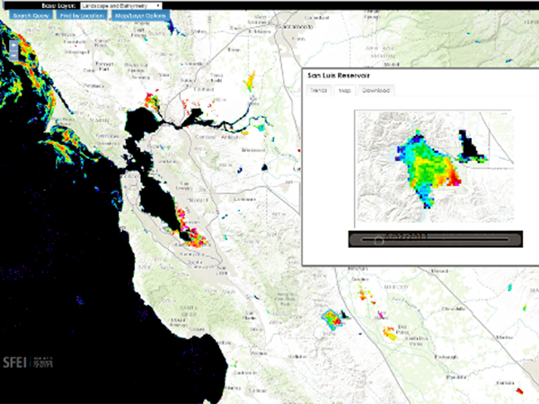
The State has contracted SFEI to provide intellectual, scientific, and technical resources to support its efforts to monitor and report on the ever-growing problem of cyanobacterial blooms in its lakes and rivers. These blooms are such a serious concern because they can generate harmful toxins which can threaten wildlife, livestock, pets, and in certain cases, human life.
- ‹ previous
- 3 of 3