Introducing the Landscape Scenario Planning Tool Version 2.0
May 13, 2022
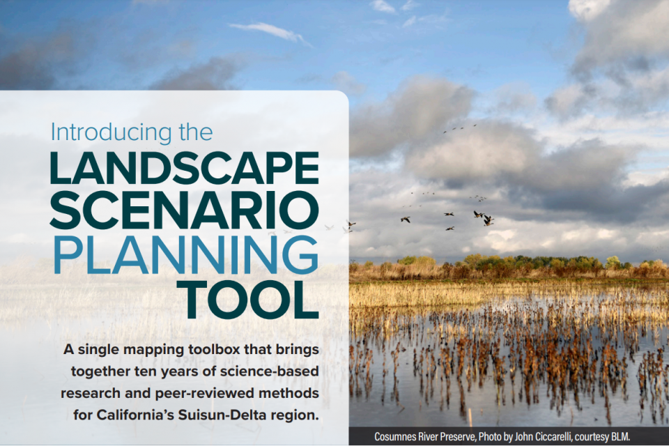
In partnership with the Delta Stewardship Council, the San Francisco Estuary Institute has developed version 2.0 of the Landscape Scenario Planning Tool, a GIS-based analysis toolkit to evaluate user-designed land use and restoration scenarios for the Sacramento-San Joaquin Delta and Suisun Marsh. This free mapping toolbox brings together ten years of science-based research and peer-reviewed methods for California’s Delta-Suisun region.
Created for resources managers, local governments, communities, and other planners and decision-makers, the Tool is designed to inform ongoing and future restoration planning efforts by assessing how proposed projects will affect a suite of landscape metrics relating to desired ecosystem functions and services. It can be used to quantify how projects may affect various priorities, such as supporting healthy native fish populations, reversing land subsidence, sequestering carbon, and supporting local economies.
In the future, new tool modules could be developed to allow for more robust assessments of the impacts of proposed scenarios on additional ecosystem functions and services. Our vision is to leverage the tool’s modular design to expand the coverage area to include landscapes across the Bay Area and eventually throughout California.
The second version (LSPT 2.0) of the Landscape Scenario Planning Tool is now available for download. LSPT 2.0 replaces Version 1.0 (DLSPT 1.0). The main differences between versions 2.0 and 1.0 are:
- Expansion of spatial extent: While DLSPT 1.0 was focused on the Delta, LSPT 2.0 has been expanded to cover the Suisun-Delta region.
- Addition of new analysis modules: We have added two new modules to LSPT 2.0 that were not included in DLSPT 1.0. These new analysis modules include Carbon and Greenhouse Gas Emissions, and Economics, making a total of 14 analysis modules available in the tool.
- Implementation of technical improvements.
- Upgrade in compatibility to ArcGIS Pro: LSPT 2.0 now runs on ArcGIS Pro, whereas DLSPT 1.0 is only compatible with older versions of ArcMap.
To learn more and download the Tool, please visit the website for the Landscape Scenario Planning Tool.
Associated Staff:
Programs and Focus Areas:
Environmental Informatics Program
Resilient Landscapes Program
Delta Science & Management
Carbon, Ecosystems & Climate
Related Projects, News, and Events:
 Landscape Scenario Planning Tool (Project)
This project is a tool for planning scenarios of landscape-scale restoration. The tool is designed to inform ongoing and future restoration planning efforts. In particular, this tool will help inform implementation of restoration objectives as described in the Delta Plan, as well as the ongoing Ecosystem Amendment to Chapter 4.