NCARI: Santa Rosa Plain WRAMP GIS Data
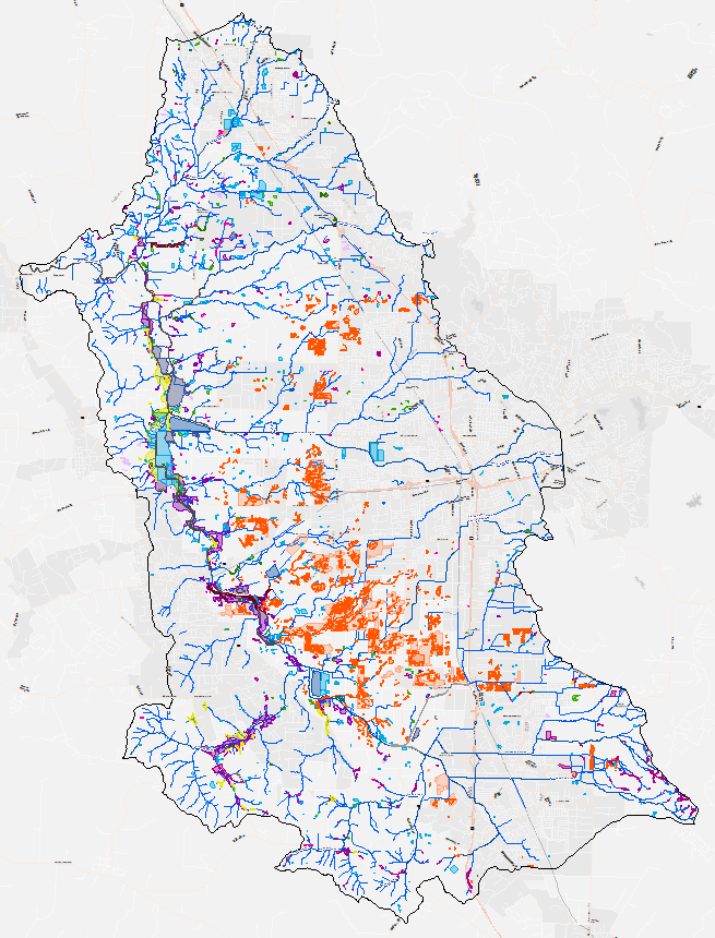
GIS mapping of aquatic resources for the Laguna De Santa Rosa valley basin. This mapping effort represents a demonstration of the North Coast Aquatic Resource Inventory (NCARI) mapping standards. This data has been incorporated into CARI.
Please view the NCARI SOP for more information about NCARI maping methods.
Creation Date:
Saturday, March 1, 2014
Last Updated:
Saturday, March 1, 2014
Type of Data:
GIS vector dataset
Programs and Focus Areas:
Environmental Informatics Program
Geographic Information Systems
Resilient Landscapes Program
Wetland Monitoring & Assessment