What is this project?
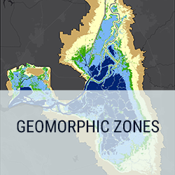
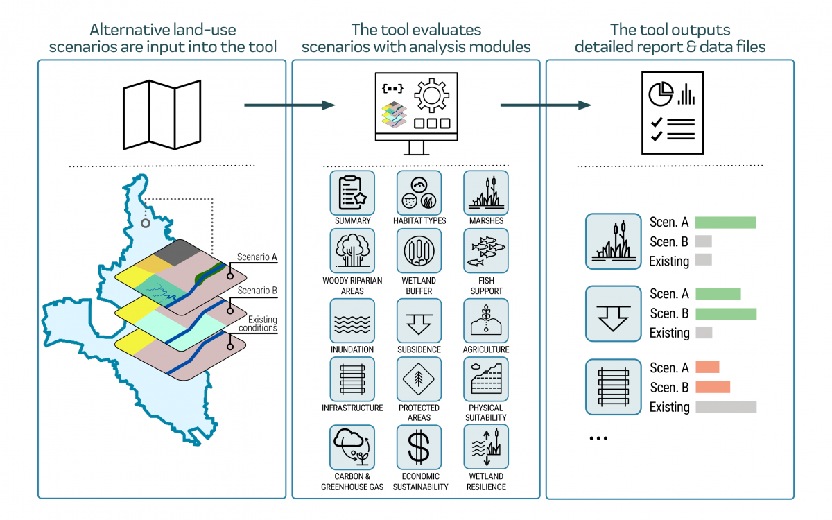
The Landscape Scenario Planning Tool (LSPT) is a set of resources to assist users with developing, analyzing, and evaluating different land use scenarios in California’s Suisun-Delta region. The tool is designed to inform ongoing and future restoration planning efforts by assessing how proposed projects will affect a suite of landscape metrics relating to desired ecosystem functions and services. The tool can also be used to conduct basic assessments of agricultural, infrastructural, and economic impacts of proposed landscape changes. The tool helps enable users to create scenarios that are grounded in the best available science and research, efficiently evaluate the tradeoffs between different scenarios, evaluate proposed projects, and track actual progress towards regional goals as projects are implemented and the landscape changes over time. In the future, new tool modules could be developed to allow for more robust assessments of the impacts of proposed scenarios on additional ecosystem functions and services. Our vision is to leverage the tool’s modular design to expand the coverage area to include landscapes across the Bay Area and eventually throughout California.
How do I access the tool?
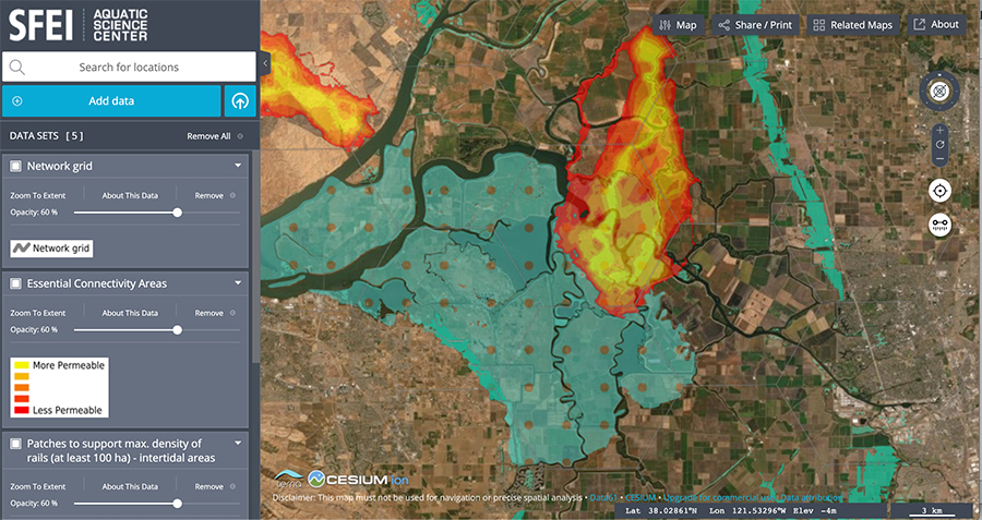
The second version (LSPT 2.0) of the Landscape Scenario Planning Tool (a desktop ArcGIS Pro toolbox for evaluating proposed land use scenarios) is now available for download (April 2022). Click on the “Download” tab above to access.
Version 2.0 (LSPT 2.0) replaces Version 1.0 (DLSPT 1.0) (first available May 2020). The main differences between versions 2.0 and 1.0 are:
- Expansion of spatial extent: While DLSPT 1.0 was focused on the Delta, LSPT 2.0 has been expanded to cover the Suisun-Delta region.
- Addition of new analysis modules: We have added two new modules to LSPT 2.0 that were not included in DLSPT 1.0. These new analysis modules include Carbon and Greenhouse Gas Emissions, and Economics, making a total of 14 analysis modules available in the tool.
- Implementation of technical improvements.
- Upgrade in compatibility to ArcGIS Pro: LSPT 2.0 now runs on ArcGIS Pro, whereas DLSPT 1.0 is only compatible with older versions of ArcMap.
The previous version of the tool (DLSPT 1.0) is also available on the tool download page for user’s working with an older version of ArcGIS, although the new modules and expanded spatial extent are not included in the previous version (DLSPT 1.0).
Who is developing the tool?
Funding for the development of the first version of the Landscape Scenario Planning Tool (previously referred to as the Delta Landscapes Scenario Planning Tool) was provided by the Delta Stewardship Council. The current version of the tool (LSPT 2.0) was funded by the Delta Stewardship Council and California Department of Fish and Wildlife. The tool is being built by scientists and developers at the San Francisco Estuary Institute, a non-profit organization serving local and state agencies, communities, NGOs, and businesses by developing and translating science to measurably improve the health and resiliency of California’s ecosystems. SFEI also appreciates the many other organizations and individuals that have contributed their expertise to the development of specific tool components.
This project builds on a decade of work funded by the California Department of Fish and Wildlife, the Delta Stewardship Council, the Delta Conservancy, and the US Fish and Wildlife Service (among others) to describe and map the historical Delta landscape, to develop a suite of landscape metrics to quantify how the Delta has changed over time, and to provide science-based guidelines for ecological restoration moving forward (see the Delta Landscapes Project). It directly builds on recent efforts to translate these guidelines into methods for developing landscape-scale restoration visions and identifying spatially-explicit landscape-scale restoration opportunities. In phase 2 of the project, the tool has been expanded geographically to include Suisun and the full legal Delta, and additional modules and metrics have been added to the analysis toolbox. Together, these materials will help ensure that tool users have the resources they need to develop, analyze, and evaluate scenarios in a way that capitalizes on the best-available science for landscape-scale restoration planning in California’s Suisun-Delta region. Phase 2 developments were made in collaboration with HydroFocus, Inc., the UC Merced Water Systems Management Lab, USGS, and Greeninfo Network.
For more information about this project, please contact Letitia Grenier ([email protected]).