SCVWD publishes 'Watching Our Watersheds' interactive map layers using data from SFEI's historical ecology studies
Jan 2, 2013
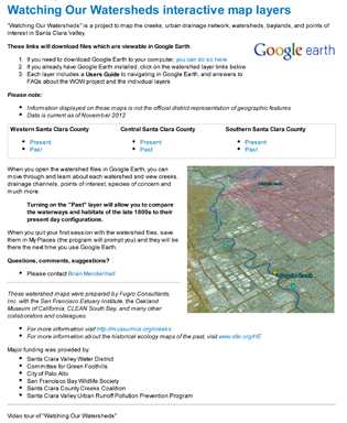 The Santa Clara Valley Water District's Watching Our Watersheds (WOW) project has adapted Historical Ecology data into Google Earth (KMZ) format. The watershed maps were prepared by Fugro Consultants, Inc. with SFEI, the Oakland Museum of California, CLEAN South Bay, and many other collaborators and colleagues. Historical points of interest, as well as past distributions of habitats were provided by SFEI.
Adapted versions of SFEI's mapping and of the Santa Clara Valley are available for download:
- Southeast of San Francisquito Creek (Mountain View, Saratoga): Western Santa Clara Valley Historical (3 Mb)
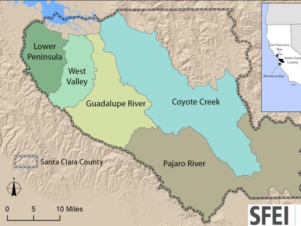
- Guadalupe River and Coyote Creek (San José, Los Gatos): Central Santa Clara Valley Historical (3 Mb)
- South Santa Clara Valley (Morgan Hill, Gilroy): Southern Santa Clara Valley Historical (4 Mb)
Interactive maps for present-day streams, watersheds, and points of interest are also available for download at the WOW project website. Taken together, the Past and Present interactive maps can be used to visualize landscape change in the South Bay and Santa Clara Valley.
GIS data from the following historical ecology studies were adapted to produce the Google Earth KMZ files depicting the historical landscape:
Programs and Focus Areas:
Resilient Landscapes Program
Related Projects, News, and Events:
 Santa Clara Valley Water District Priority D5 Project's Watershed Condition Assessments (2010 to present) (Project)
https://www.valleywater.org/project-updates/2012-d5-ecological-data-collection-and-analysisSFEI and the Santa Clara Valley Water District's (Valley Water) Priority D-5 Project have been conducting baseline ecological condition assessments in Santa Clara County, CA to characterize the distribution and abundance of stream and wetlands in five major watersheds, and to assess the overall ecological conditions of streams in the watersheds based on the California Rapic Assessment Method for streams (CRAM). The surveys employ the state's recommended Wetland and Riparian Area Monitoring Plan's watershed aproach that includes the use of GIS-base maps of aquatice resources (BAARI), and spatially-balanced ambient stream condition surveys using CRAM.