Adaptation Atlas Data
This dataset is an ArcGIS map package containing the Operational Landscape Units and nature-based shoreline adaptation opportunities described in the San Francisco Bay Shoreline Adaptation Atlas. The map package includes the following layers:
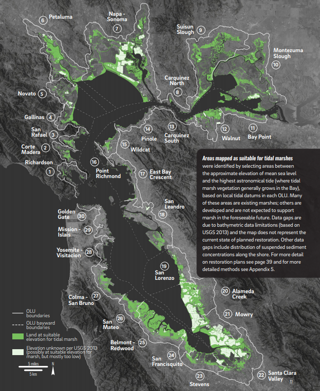
- Operational Landscape Units, including the following components:
- Primary
- Submerged
- Contributing watershed
- Adaptation Measures, including suitability for:
- Nearshore reefs
- Submerged aquatic vegetation
- Mudflat augmentation
- Beaches
- Tidal marshes
- Polder management
- Ecotone levees [Version 2. See Technical Update (SFEI 2021) for details]
- Migration space preparation
- Green stormwater infrastructure
- Creek-to-baylands reconnection
This GIS dataset is not an adaptation plan. The dataset provides information on the suitability of nature-based measures according to the methods detailed in the San Francisco Bay Shoreline Adaptation Atlas. Additional study, planning, and engineering will be required to refine these opportunities.
For more information about the San Francisco Bay Shoreline Adaptation Atlas, please visit https://www.sfei.org/adaptationatlas
To download the Adaptation Atlas report, which includes detailed information about the methodology used to develop this GIS dataset, click here
You can also view this dataset in an interactive online webmap at https://resilienceatlas.sfei.org/
Creation Date:
Thursday, May 2, 2019
Last Updated:
Monday, November 1, 2021
Type of Data:
GIS vector dataset
Associated Staff: