Interactive Map
With the rapid conversion of the lush freshwater wetlands with winding tidal channels and adjoining riparian forest to a predominantly agricultural landscape, it is difficult to imagine what the Sacramento-San Joaquin Delta was once like.
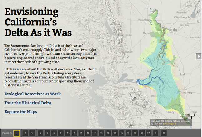
A recent collaboration with KQED QUEST and Stanford’s Bill Lane Center for the American West brings the historical landscapes of the Delta to life through an online interactive map. The effort drew from the draft report and accompanying map of the early 1800s Delta developed as part of the Delta Historical Ecology Study. Within the context of the interactive map, historical maps, texts, photographs and land surveys used to interpret the diversity and productivity of the past Delta are explored in vignettes.
The online interactive map,"Envisioning California’s Delta As it Was,” accompanies a KQED QUEST radio report by Lauren Sommer: “California’s Deadlocked Delta: Can We Bring Back What We’ve Lost?”.